

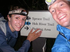
An Epic in the "Live Free or Die" State in Nov?
Yeah that's right.. New Hampshire: where you can ride a motorcycle without a helmet and carry a gun without a permit - "Live Free or Die". I would love to go home for Thanksgiving this year and see my family in the Shire. If I do so I'd like to do some sort of ultra race while back there. After searching it doesn't look like there will be any. So I'm now looking to do an epic training, either biking or running mass miles.
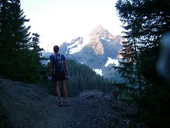
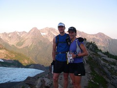
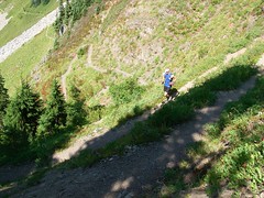
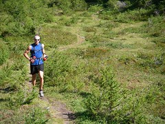
Today I've been obsessed with running the Presidential Range in New Hampshire. It's only 25.5 miles, but there is 9,600 feet of gain and it would be 14 - 40 degrees. So that could be quite a challenge (my toes ache just thinking about it)! The average temperature in Nov at the top of Mt Washington (6,288 ft) is 14 degrees and it's got the "worst weather on earth", and the highest winds ever recorded on earth too - 231 mph.
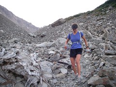
I've read some great CAUTIONARY notices about this hike with 13 miles of it above tree line, meaning loads of exposure. Here is one from a guide book: "A large portion of this hike is extremely exposed to weather. The entire Mount Washington area is susceptible to lightning strikes and very strong winds. It can snow any month of the year, but any kind of weather above treeline can create the potential for hypothermia." I think I'll bring a bivy and more cloths than normal. =)
Anyone out there ever run this?
Or
Does anyone have any other ideas for epics in New England?
Today I've been obsessed with running the Presidential Range in New Hampshire. It's only 25.5 miles, but there is 9,600 feet of gain and it would be 14 - 40 degrees. So that could be quite a challenge (my toes ache just thinking about it)! The average temperature in Nov at the top of Mt Washington (6,288 ft) is 14 degrees and it's got the "worst weather on earth", and the highest winds ever recorded on earth too - 231 mph.
I've read some great CAUTIONARY notices about this hike with 13 miles of it above tree line, meaning loads of exposure. Here is one from a guide book: "A large portion of this hike is extremely exposed to weather. The entire Mount Washington area is susceptible to lightning strikes and very strong winds. It can snow any month of the year, but any kind of weather above treeline can create the potential for hypothermia." I think I'll bring a bivy and more cloths than normal. =)
Anyone out there ever run this?
Or
Does anyone have any other ideas for epics in New England?
 Subscribe to Matt's RSS Feed
